Last Saturday, Caroline and I decided to strap on our snowshoes again for an afternoon of outdoor fun in the mountains and woods of New Hampshire. We headed to Glencliff along Route 25. At a point a short distance north of the Glencliff town center, Route 25 is intersected by the Appalachian Trail. There’s a convenient little parking lot on the side of the road.
The Wichapauka Pond Trail, a part of the Appalachian Trail, starts at Route 25 and runs west for 2.3 miles (3.7 kilometers) to Wichapauka Pond. Because the more spectacular White Mountains lay nearby, this is a section of the AT that’s often overlooked. The Wichapauka Trail does not include any major peaks or other natural landmarks. It does make, however, for a great snowshoe trip in winter and an even better hike in summer.
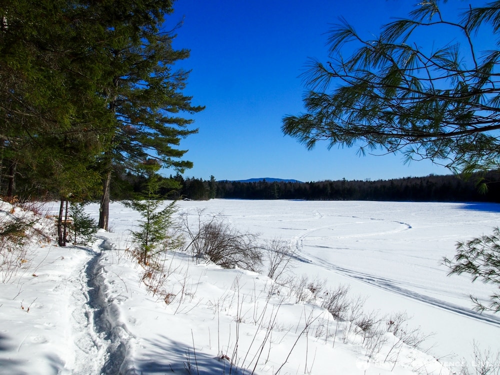
Wichapauka Pond
Wichapauka Pond Trail + Webster Slide Mountain Trail
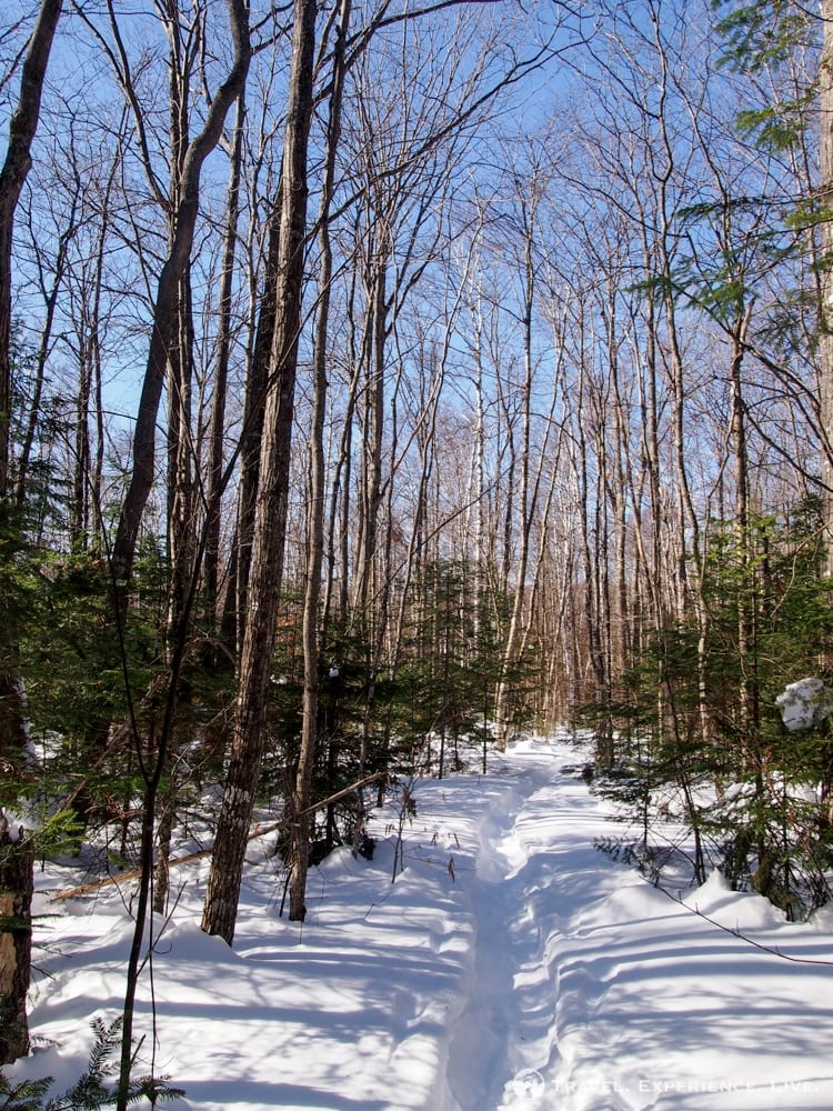
After leaving Route 25, the Wichapauka Pond Trail first crosses a snowmobile route before becoming a narrow trail through the woods. It starts off moderately, with some steeper sections here and there, and reaches the top of 1,841-foot (561-meter) Wyatt Hill after 1.2 miles (1.9 kilometers).
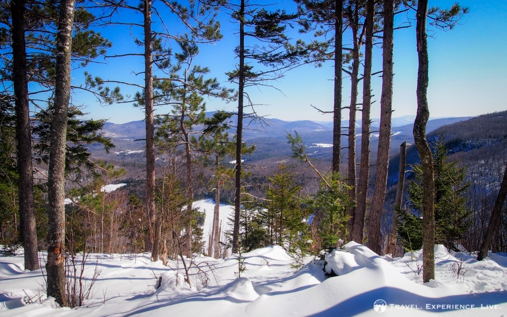
Wichapauka Pond Trail on the flank of Wyatt Hill
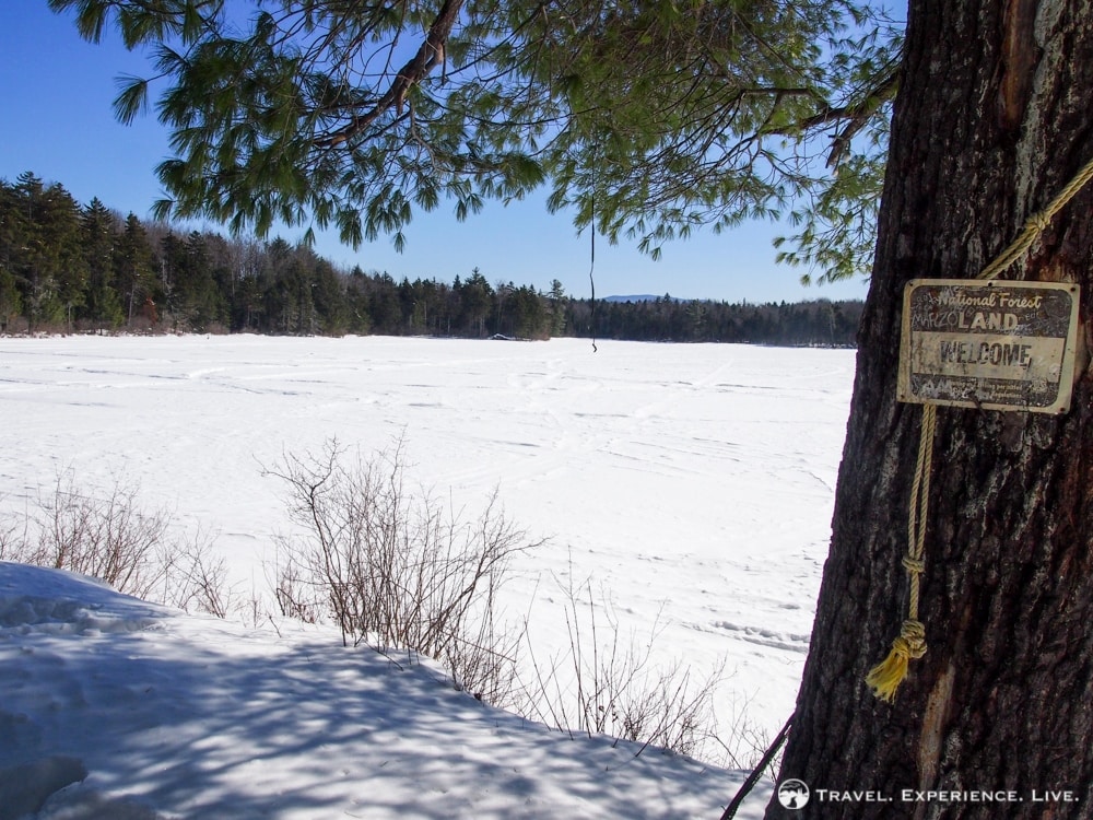
The trail then descends gradually toward Wichapauka Pond. After another 0.8 or so miles (1.3 kilometers), we arrived at the pond’s northern edge. In summer, there’s a nice little campground and picnic spot. Now, the area was covered in snow, the lake completely frozen over. We ate our pre-packed lunches and drank a cup of hot coffee on the shore, enjoying the perfect quietness of the New Hampshire wilderness, all the while clapping our ice-cold hands.
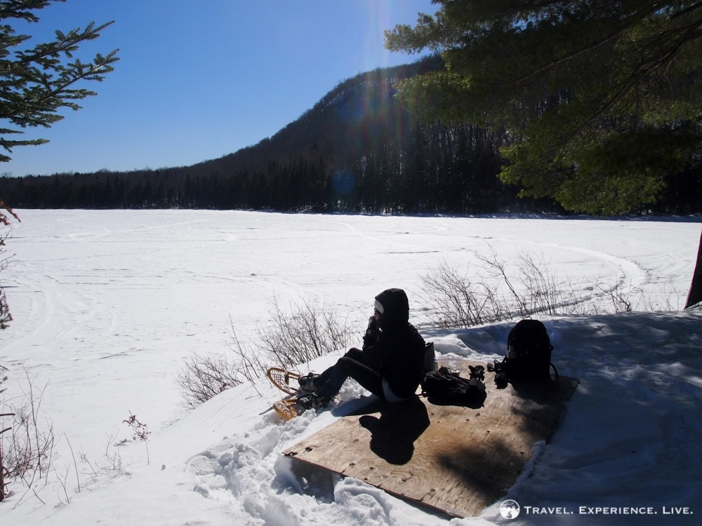
Lunch break on the shore of Wichapauka Pond
Further reading: Snowshoeing Across Lake Fairlee
We continued for another 0.3 miles (0.5 kilometers) to the place where the Wichapauka Pond Trail and the Webster Slide Trail part ways. The Wichapauka Pond Trail turns left and continues to its end at Route 25C, while the Webster Slide Trail bends to the right and up to the summit of Webster Slide Mountain. At that point, we had been snowshoeing for 1 hour and 35 minutes.
A pleasant campsite in summer, a snow-covered place in winter
We turned right and followed the steep Webster Slide Trail to the top. About halfway up, the trail got so steep that it was impossible for us to continue on with our snowshoes. The steep grade, combined with deep snow and an underlying layer of ice, caused us to slide down again after every step we took. The name Webster Slide Mountain couldn’t be more appropriate. We took off our snowshoes and finished the last several hundred yards wearing our boots.
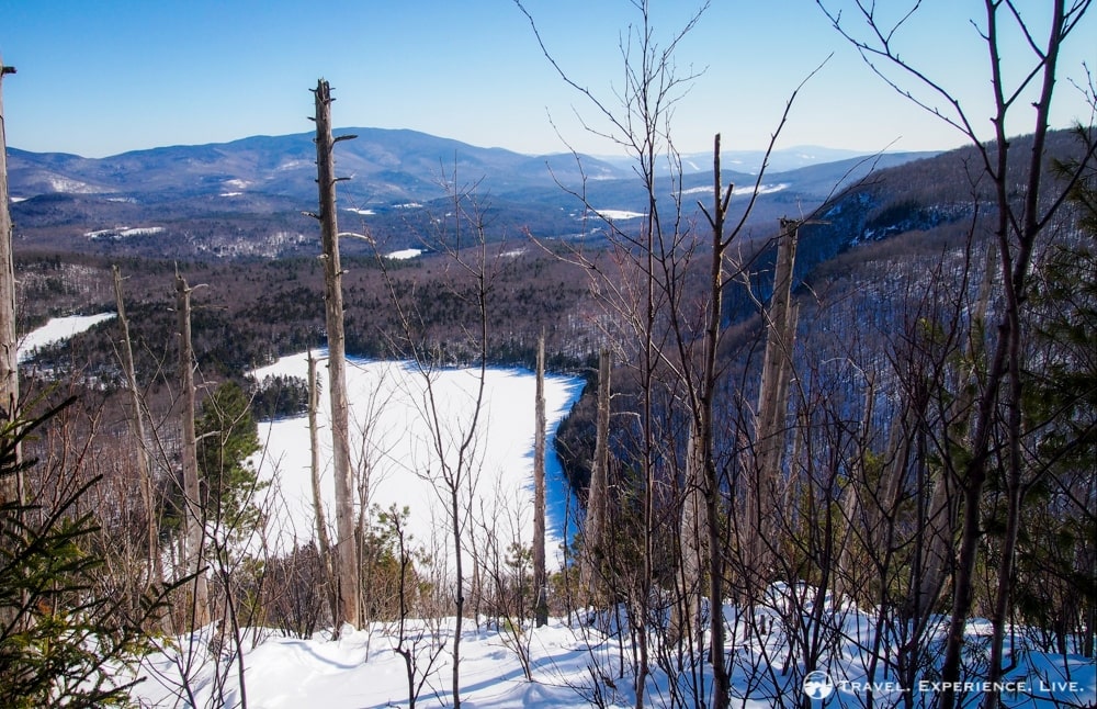
View of Wichapauka Pond from Webster Slide Mountain
The Webster Slide Trail is no longer than 0.7 miles (1.1 kilometers), but it took us 55 minutes to reach the 2,184-foot (666-meter) summit, a summit that offered a decent view of Wichapauka Pond and the White Mountains, including Mount Moosilauke, in the background. The view was somewhat obstructed by trees, though, which was a bit disappointing.
Unfortunately, trees blocked this potentially amazing view
We headed or, rather, slid and jumped back down, strapped on our snowshoes and were at the base of Webster Slide Mountain after only 30 minutes.
The Wichapauka Pond Trail back to Route 25 took us 1 hour and 15 minutes and was surprisingly tiring. After more than four hours of snowshoeing, we arrived back at our car, utterly exhausted and ready for a shower and a rewarding beer.
Trail Details
Wichapauka Pond Trail west: 2.3 miles (3.7 kilometers); 1 hour 35 minutes
Webster Slide Trail up: 0.7 miles (1.1 kilometers); 55 minutes
Webster Slide Trail down: 0.7 miles (1.1 kilometers); 30 minutes
Wichapauka Pond Trail east: 2.3 miles (3.7 kilometers); 1 hour 15 minutes
Total round trip distance: 6 miles (9.6 kilometers)
Total duration: 4 hours 15 minutes
Trailhead location: 1.4 miles (2.3 kilometers) west of the intersection of Routes 25 and 112, and 0.6 miles (1 kilometer) west of the post office in Glencliff, western New Hampshire. On the left side of Route 25.
Sanjana @ Green Global Travel
Sunday 5th of April 2015
Love your pictures! Sounds like a great adventure!
Bram Reusen
Monday 6th of April 2015
Yep, it was a fun activity indeed. :-) Glad you like the pictures!
Corinne
Saturday 7th of March 2015
Snowshoeing is such a peaceful, yet fun way to tromp through the winter woods. Love your photos!
Bram Reusen
Tuesday 10th of March 2015
Thanks, Corinne! Snowshoeing's great! :-D