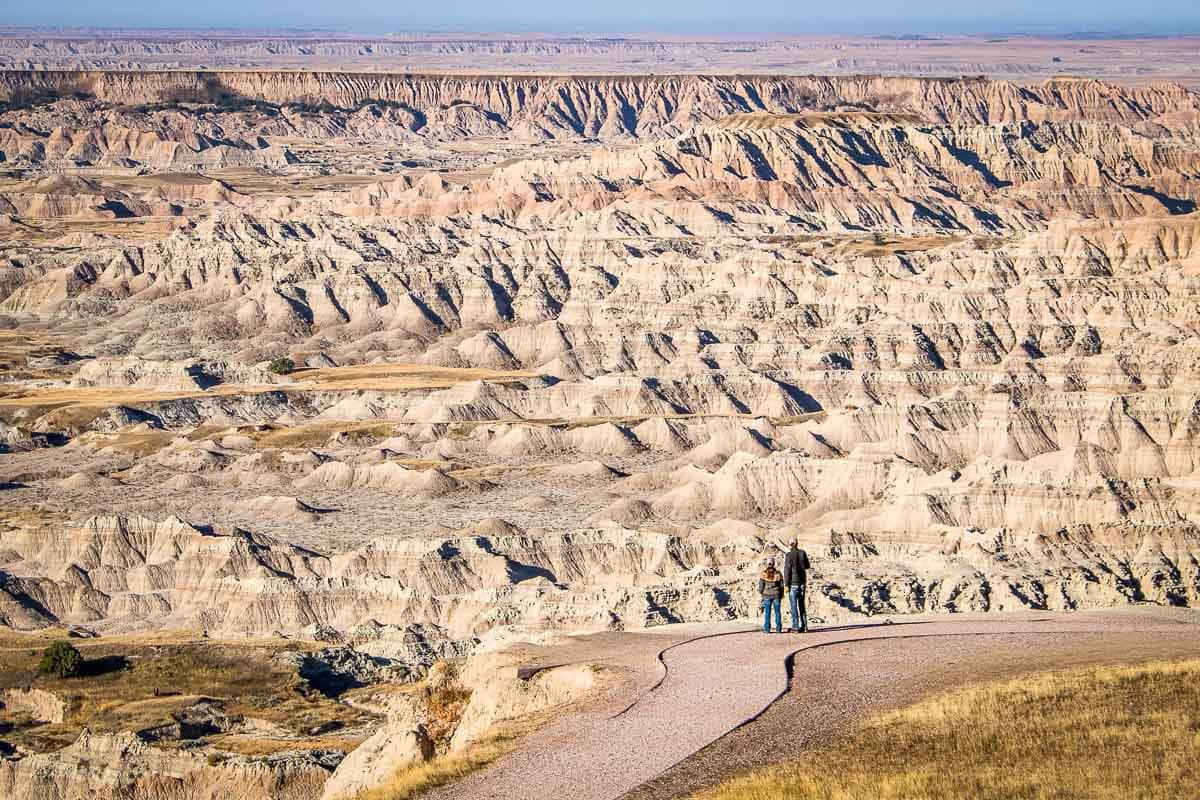
One of the most accessible and easy-to-visit national parks in America, Badlands National Park is home to many scenic overlooks.
Getting to these viewpoints doesn’t require much effort whatsoever. All are along the main park roads, with especially the Badlands Loop Road lined with over a dozen amazing overlooks. The Sage Creek Rim Road, on the other hand, also has incredible views.
In total, there are no fewer than fourteen overlooks in the Badlands National Park North Unit, which is the area where most visitors spend their time. The remote South Unit is more difficult to visit, but does have two scenic overlooks, too.
I’ve compiled a complete list of all Badlands National Park overlooks for you below.
Having enjoyed each of these amazing Badlands views myself, some more than once at both sunrise and sunset, I also share my opinion one what I think are the best views in Badlands National Park.
This blog post about the scenic overlooks in Badlands National Park contains affiliate links. You can read more about our Terms of Use / Disclosure here.
Contents
- Overview of All Scenic Overlooks in Badlands National Park (North Unit)
- More About Badlands National Park
- Scenic Overlooks on the Badlands Loop Road, Badlands National Park
- Scenic Overlooks on the Sage Creek Rim Drive, Badlands National Park
- More Overlooks in Badlands National Park (South Unit)
- More Scenic Views in the National Parks
Overview of All Scenic Overlooks in Badlands National Park (North Unit)
Since the North Unit is the part of Badlands National Park where almost all park visitors go, this will be the main focus on this blog post. It’s also, of course, where you’ll find the vast majority of Badlands overlooks.
The overview is split up into two main sections: the eleven overlooks on the Badlands Loop Road, followed by the three viewpoints on the Sage Creek Rim Road.
For reference, the names of the BEST OVERLOOKS in Badlands National Park are capitalized below. In case your time is limited, I suggest you focus on those viewpoints.
I’d like to point out that, if you allow for two or three days in the park, you can easily see all of these spectacular views in Badlands National Park during your visit. I also recommend visiting the Badlands overlooks at either sunrise or sunset.
Those are the most beautiful times of the day, while this allows you to dedicate the rest of your day(s) to hiking the many short Badlands hiking trails (some of which also have excellent views), doing some wildlife watching, picnicking, or exploring the visitor center.
Additionally, for a (food) break from park exploration, a visit to Wall Drug in the small town of Wall is a super-fun afternoon activity.
More About Badlands National Park
- Park Website
- Travel Guide
- Topographic Map
- Best Badlands Hikes
- Top Things to Do in Badlands National Park
- Accommodation
Scenic Overlooks on the Badlands Loop Road, Badlands National Park
The 30-mile Badlands Loop Road is the main road through Badlands National Park. It is the park’s only paved road, an incredible drive along and across the famed Badlands Wall in the North Unit.
Numerous trailheads and scenic overlooks line the Badlands Loop Road. Additionally, this is also where the Ben Reifel Visitor Center, Cedar Pass Lodge and Campground are located.
Below, you’ll find all of the Badlands Loop Road overlooks, plus photos.
Big Badlands Overlook
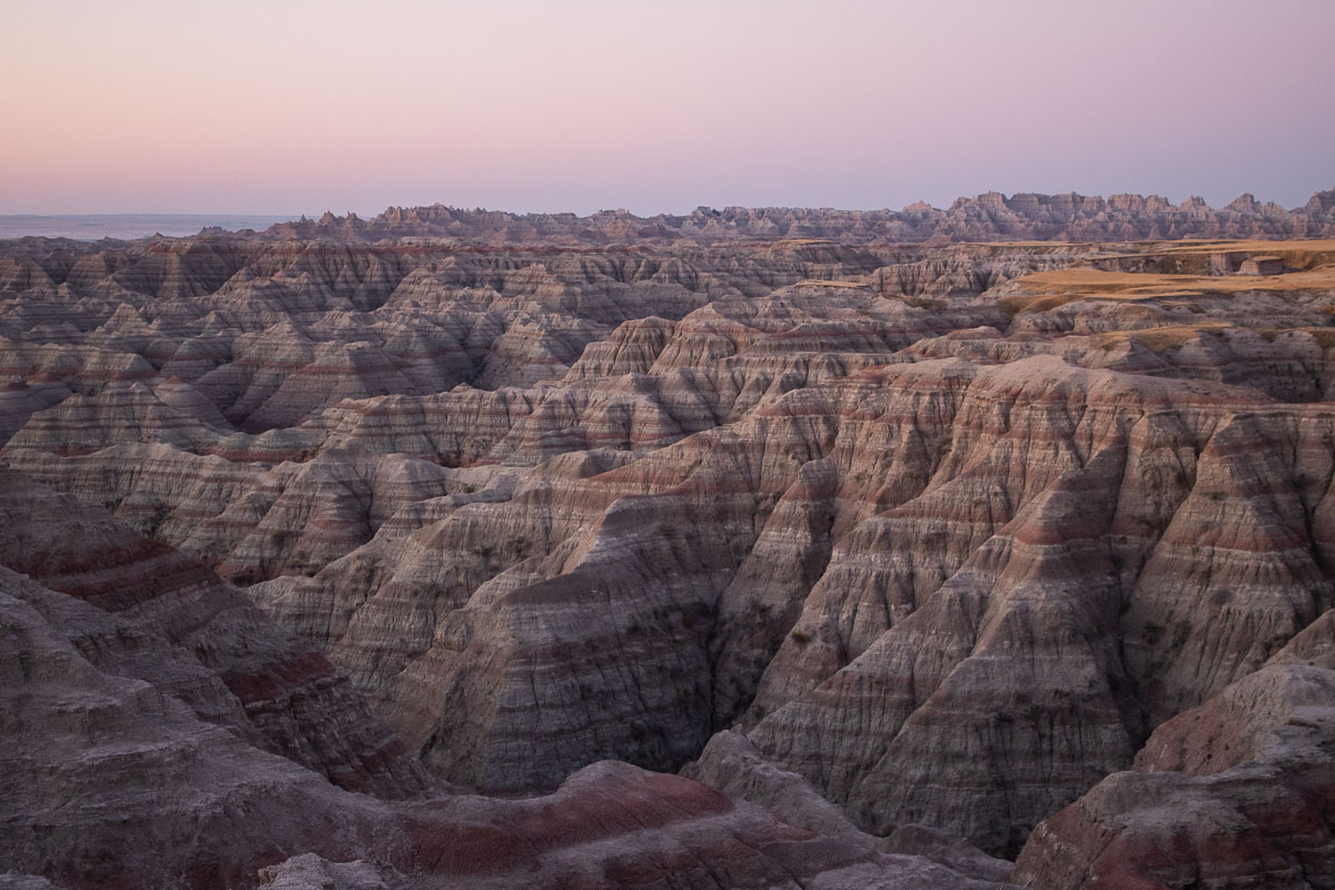
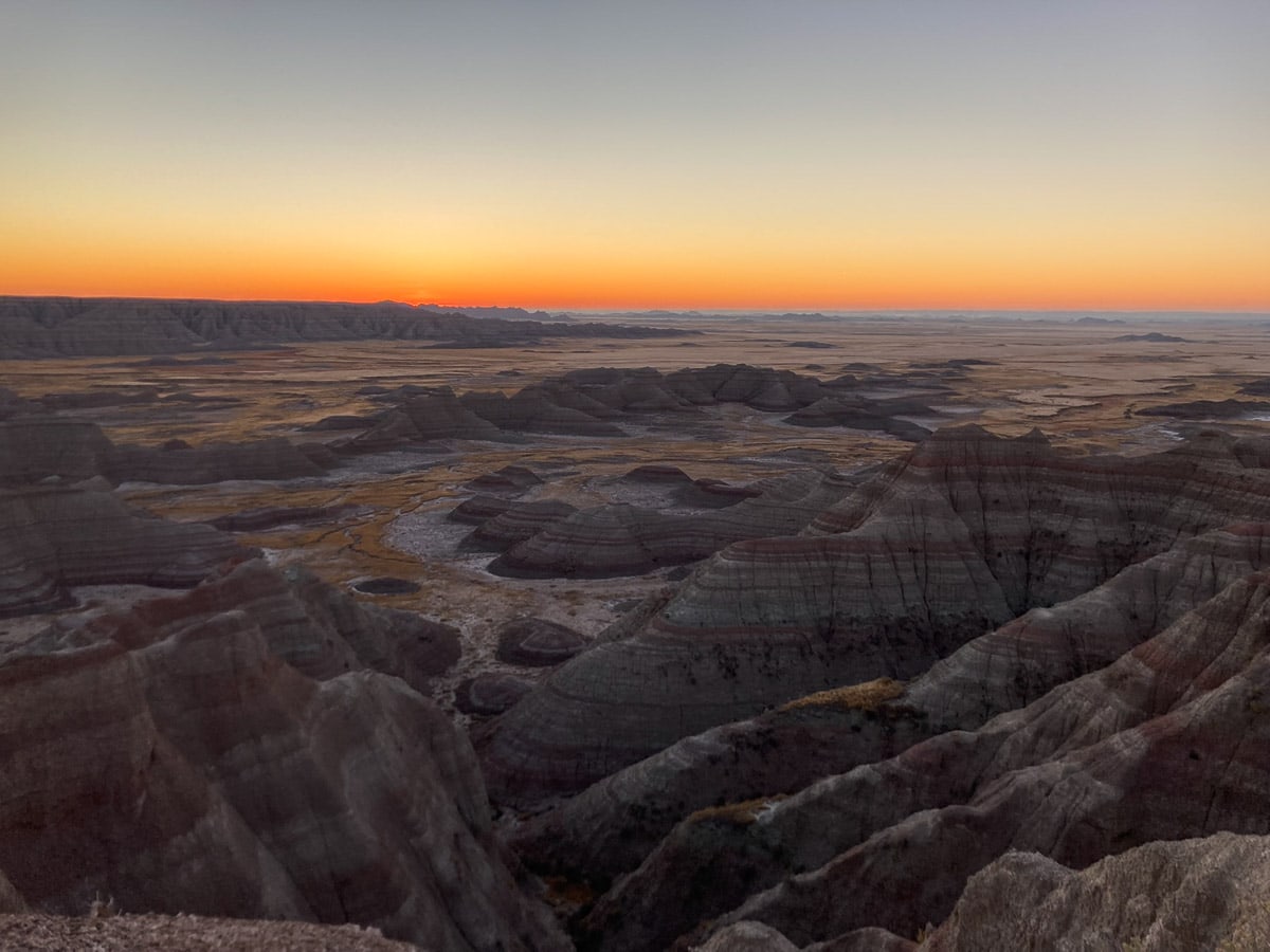
Arguably the single best place to watch the sunrise in Badlands National Park, the Big Badlands Overlook provides a commanding view of the eastern part of the Badlands Wall.
The overlook is in the far northeastern corner of the park, less than four miles south of I-90.
Comprising the lower units of the Badlands Formations, from the ancient dark-gray Chadron Formation to the slightly younger red stripes of the Brule Formation, the vista is truly showstopping.
This view is spectacular throughout the day, but is especially glorious at sunrise. This is one of my personal favorite views in Badlands National Park and I strongly recommend checking it out. It’s truly sensational.
White River Valley Overlook
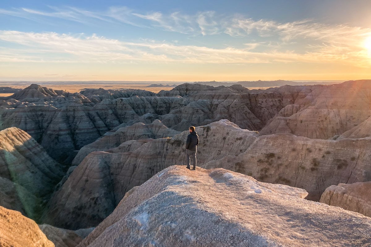
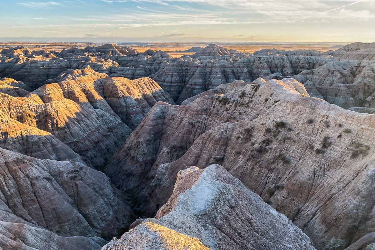
One of the greatest viewpoints in Badlands National Park in general, the White River Valley Overlook is especially spectacular at sunset.
When driving the Badlands Loop Road westward from Cedar Pass, this is the first overlook you’ll see. Facing south, the overlook offers a great view of the White River Group of Badlands, as well as of the White River Valley in the distance below.
This is a particularly great Badlands sunset spot for photos because there are several short social trails to the ends of ridges and buttes.
Disclaimer: Although it’s 100% allowed to walk pretty much anywhere in Badlands National Park, I can’t stress enough how important it is to exercise caution near steep drop-offs, ledges and cliffs like these.
Bigfoot Pass Overlook
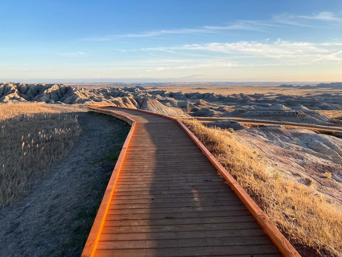
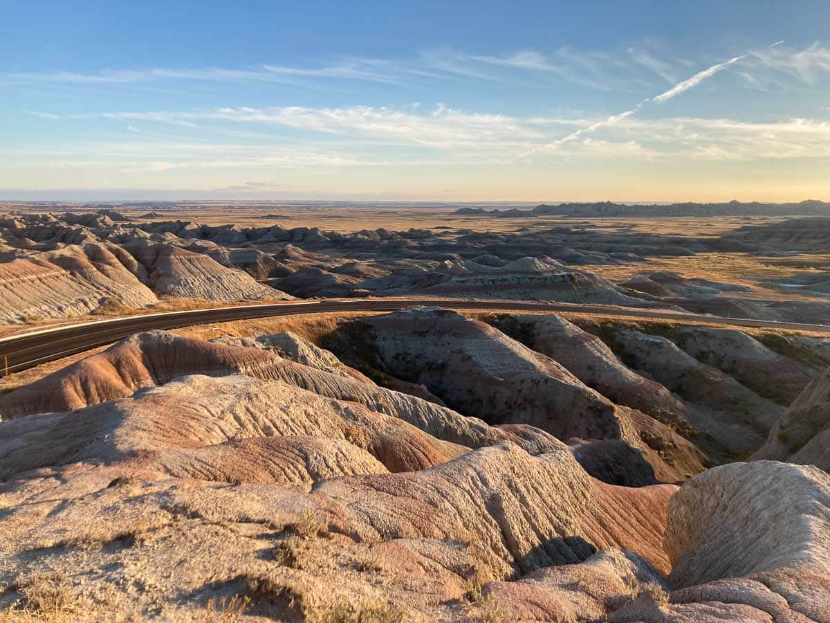
Situated near one of the park’s few picnic areas, the Bigfoot Pass Overlook is both a stunning viewpoint and a historically significant site.
From the end of the boardwalk, you can enjoy a magnificent view of the Badlands and the Badlands Loop Road that cuts through them. It’s a fine view all day long, but especially great in the evening, one of my favorite sunset spots in Badlands National Park.
Besides the excellent sunset scenery you can enjoy here, there’s some history associated with the area, too.
Bigfoot Pass is named after the Miniconjou Lakota Chief Spotted Elk, who was also called Big Foot. He used this pass through the Badlands to escape the U.S. Army on his way to Chief Red Cloud’s Pine Ridge Reservation, before being captured, escorted to Wounded Knee and massacred.
“After the murder of Sitting Bull on December 15, 1890, approximately 200 Hunkpapa Lakota fled to join Chief Spotted Elk, also known as Big Foot, and his band of Miniconjou Lakota at the Cheyenne Reservation.
This group departed for the Pine Ridge Indian Reservation on December 23, seeking refuge with Chief Red Cloud. Five days later, a detachment of the 7th Calvary met the traveling group and escorted them to Wounded Knee Creek. The next day (December 29, 1890), tensions rose and the 7th Calvary massacred an estimated 150-300 men, women and children at Wounded Knee.”
– National Park Service
See More National Park Service Units That Preserve Native American Heritage and History Here
Panorama Point Overlook
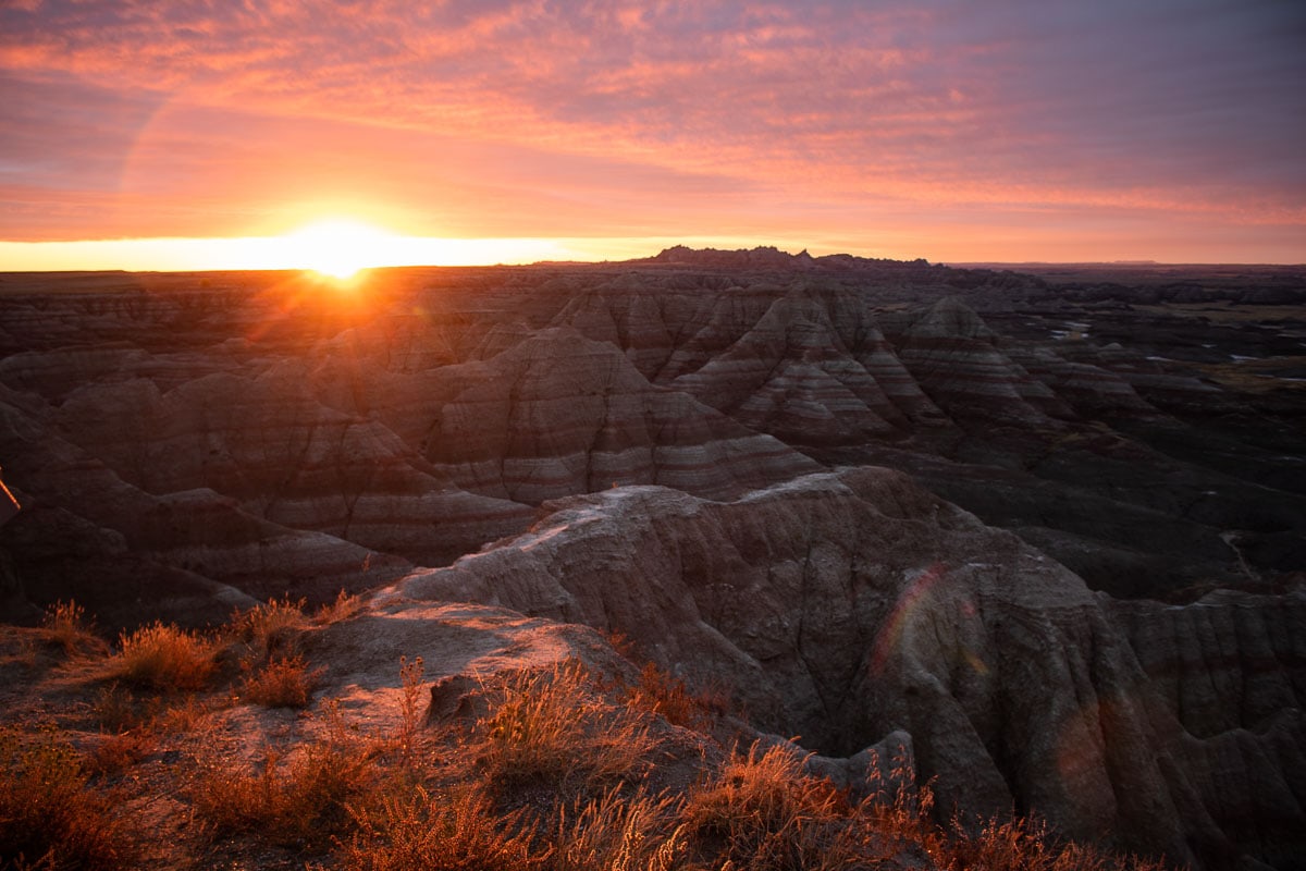
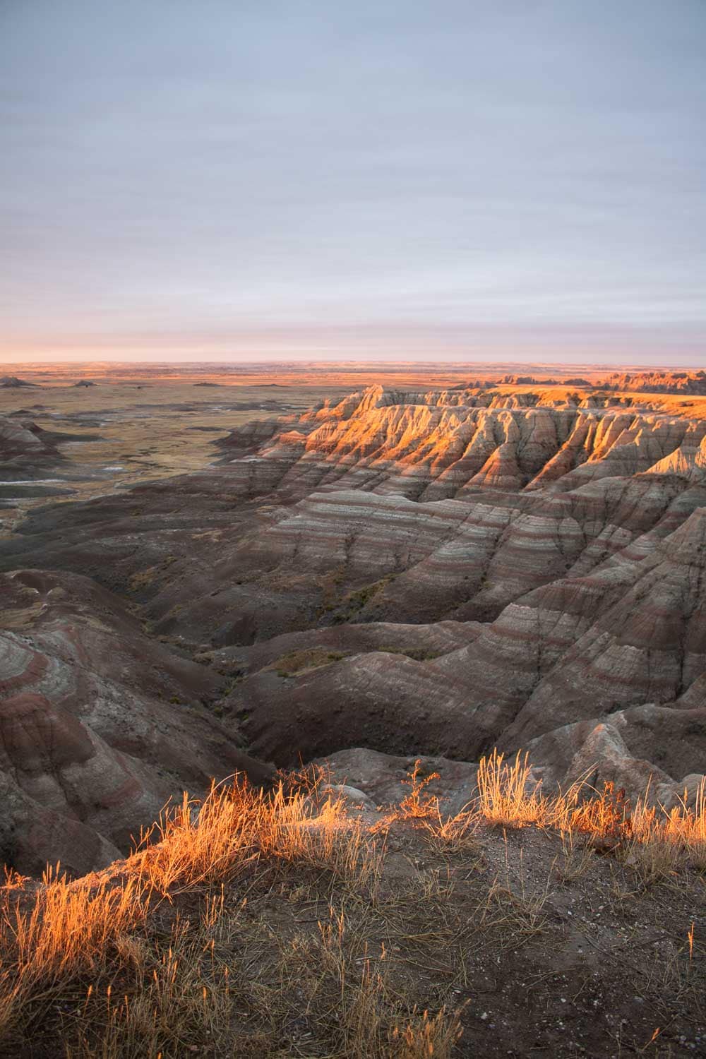
The popular Panorama Point Overlook is just west of Bigfoot Pass on the eastern section of the Badlands Loop Road. This viewpoint looks to the southeast and—as the name implies—provides a jaw-dropping panoramic view of the Badlands.
This is without question one of the top overlooks in Badlands National Park, its distant vista taking in the iconic Badlands Formations, which descend toward the White River Valley.
Prairie Wind Overlook
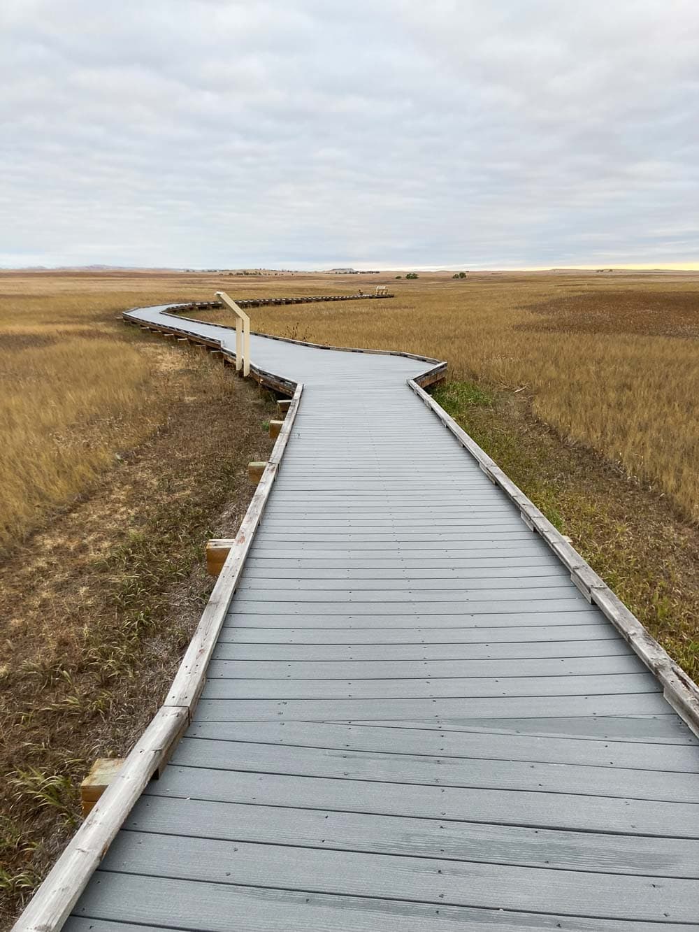
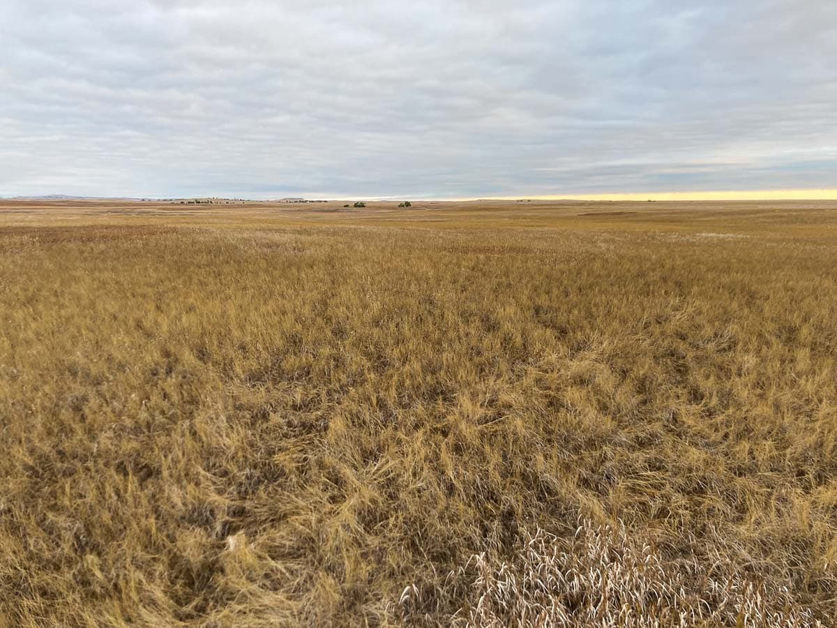
Unlike most other overlooks in Badlands National Park, the Prairie Wind Overlook doesn’t offer any views of the Badlands.
Instead, you can see the swaying grasses of the park’s sprawling prairie, stretching toward the horizon. Specifically, this overlook provides a unique view of the intact mixed-grass prairie in Badlands National Park, the largest remaining such ecosystem in the United States.
A boardwalk runs into the prairie, ending at an information panel flanked by two benches. At this point, you’re literally surrounded by prairie.
Although not as spectacular as some other Badlands overlooks, this one is as essential to your understanding of what Badlands National Park is all about as any other viewpoint in the park.
Burns Basin Overlook
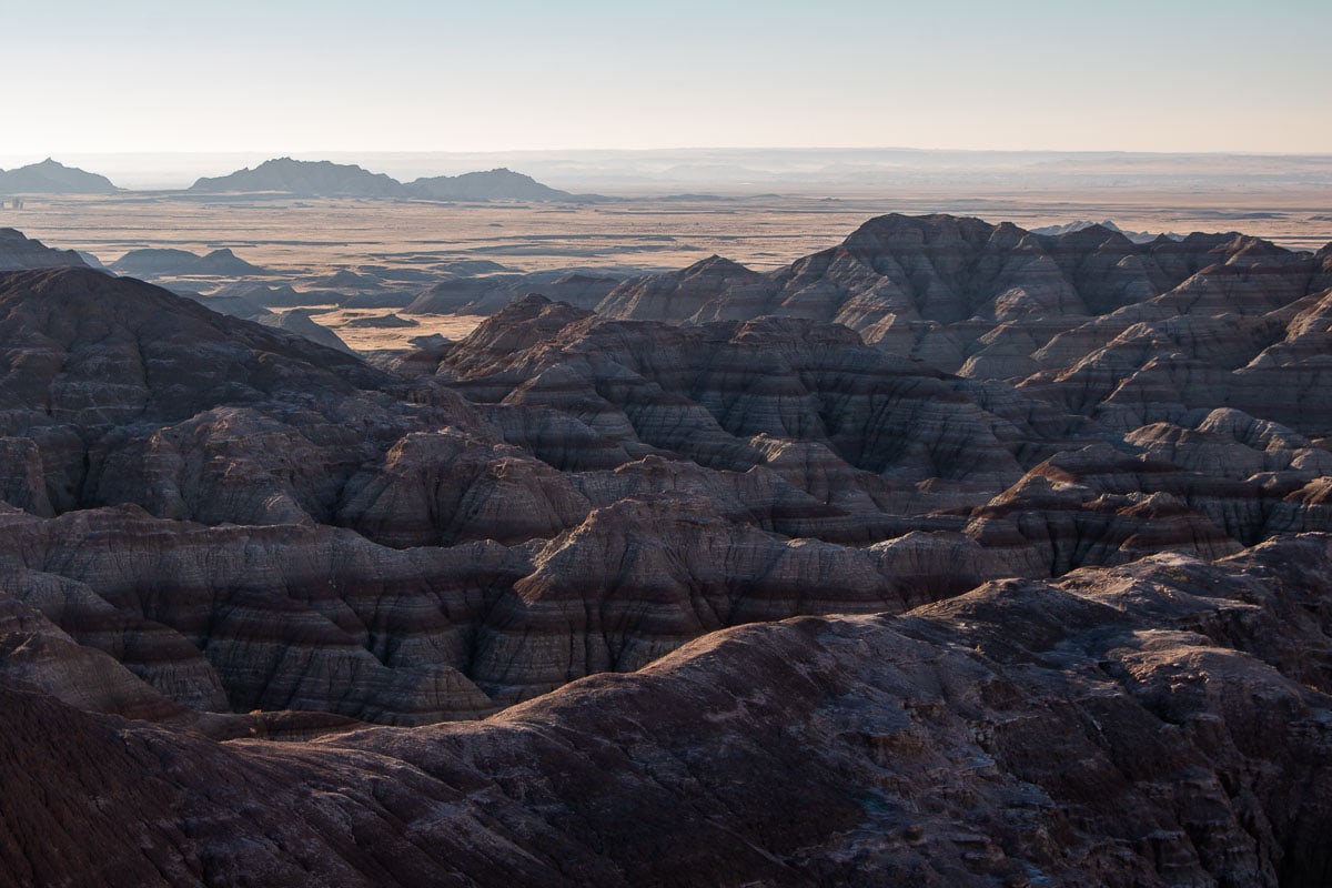
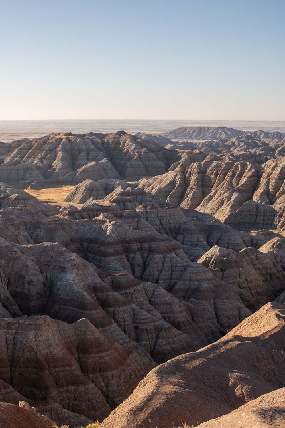
Named after the old homestead of Wilson Burns, who had a sheep farm in the basin below in the early-20th century, this is yet another visit-worthy Badlands overlook.
From the Burns Basin Overlook, you can admire a collection of typical color-banded Badlands, while the basin and valley beckon beyond. A very short boardwalk leads to a single bench overlooking the landscape.
It’s as beautiful a view in Badlands National Park as you’ll find anywhere, especially right after dawn.
Additionally, the Burns Basin Overlook is also a great place to see prairie dogs in the Badlands!
Homestead Overlook
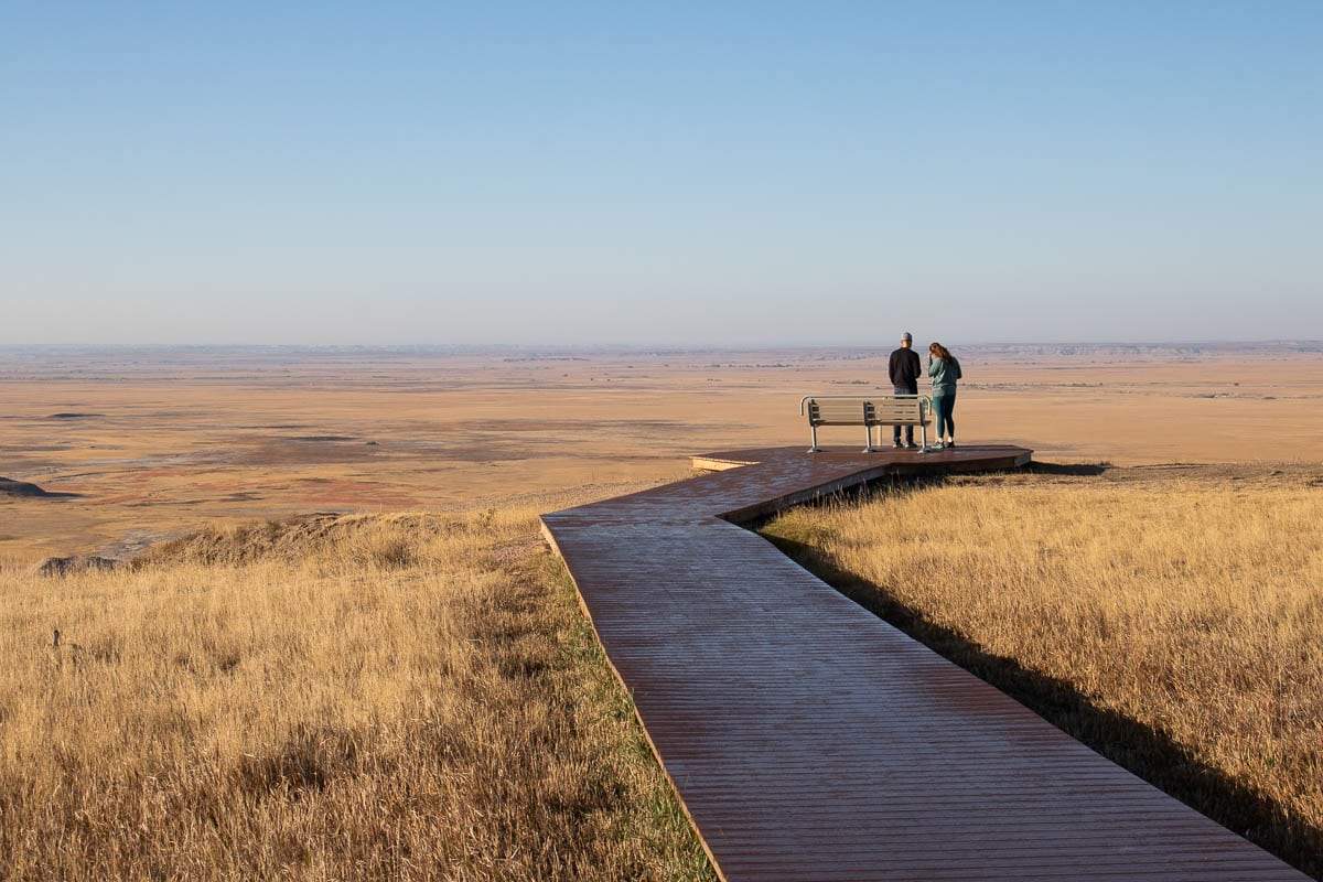
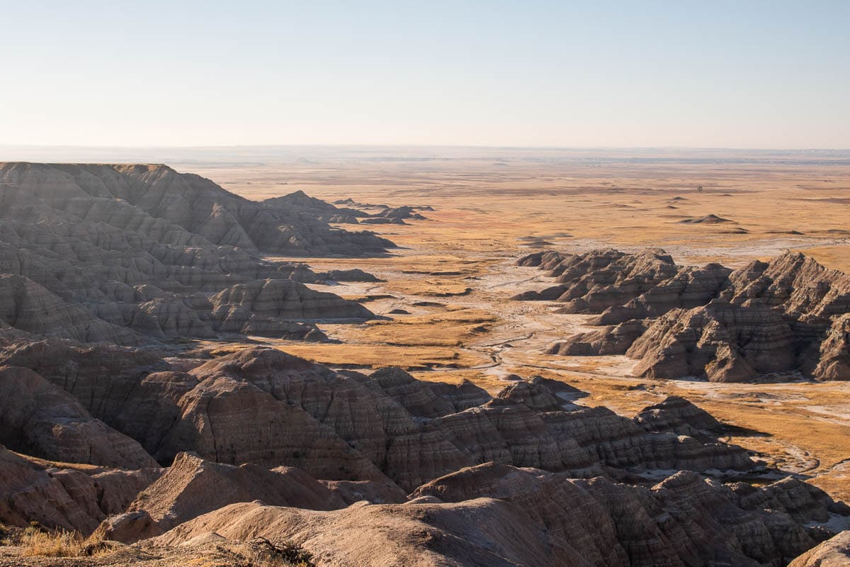
Overlooking both Badlands and prairie environments, the Homestead Overlook is a wonderful place to learn about the homesteaders and ranchers who tried to make a living in the White River Valley below.
The first Homesteading Act was signed into law by President Abraham Lincoln in 1862. It allowed a U.S. citizen to “claim a 160-acre plot of public land in the West by filing an application, living on and improving the land for a minimum of five years, and filing for a deed within seven years.”
Although they offered “free” land to (white) settlers, this first and other subsequent Homesteading Acts cost the Native Americans who lived in these lands dearly. The lands offered as homesteading plots were seized from Native Americans on the Great Plains through laws like the Dawes Act.
In what is now Badlands National Park, homesteaders attempted to carve out a living, but due to the harsh climate, most of the homesteads turned out to be “starvation claims.” They were quickly abandoned or sold.
Conata Basin Overlook
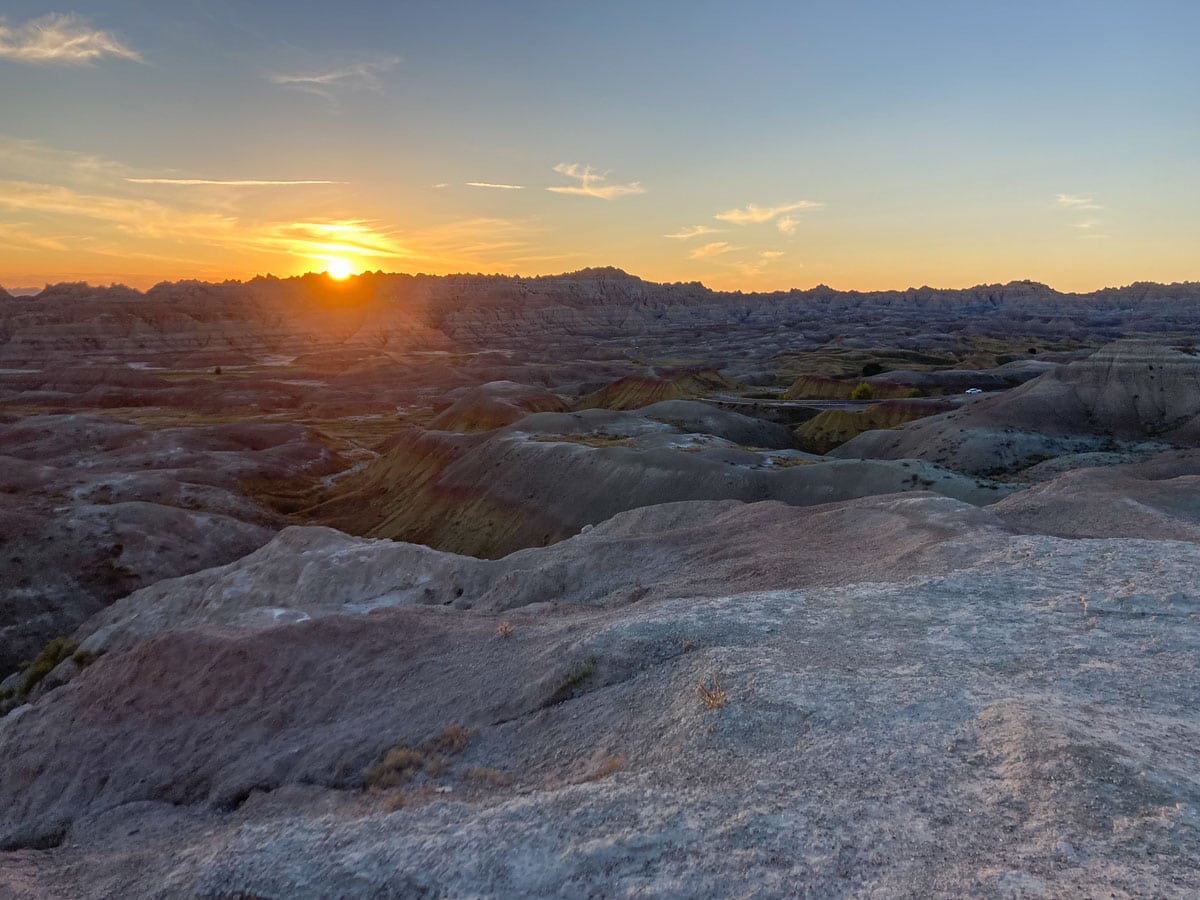
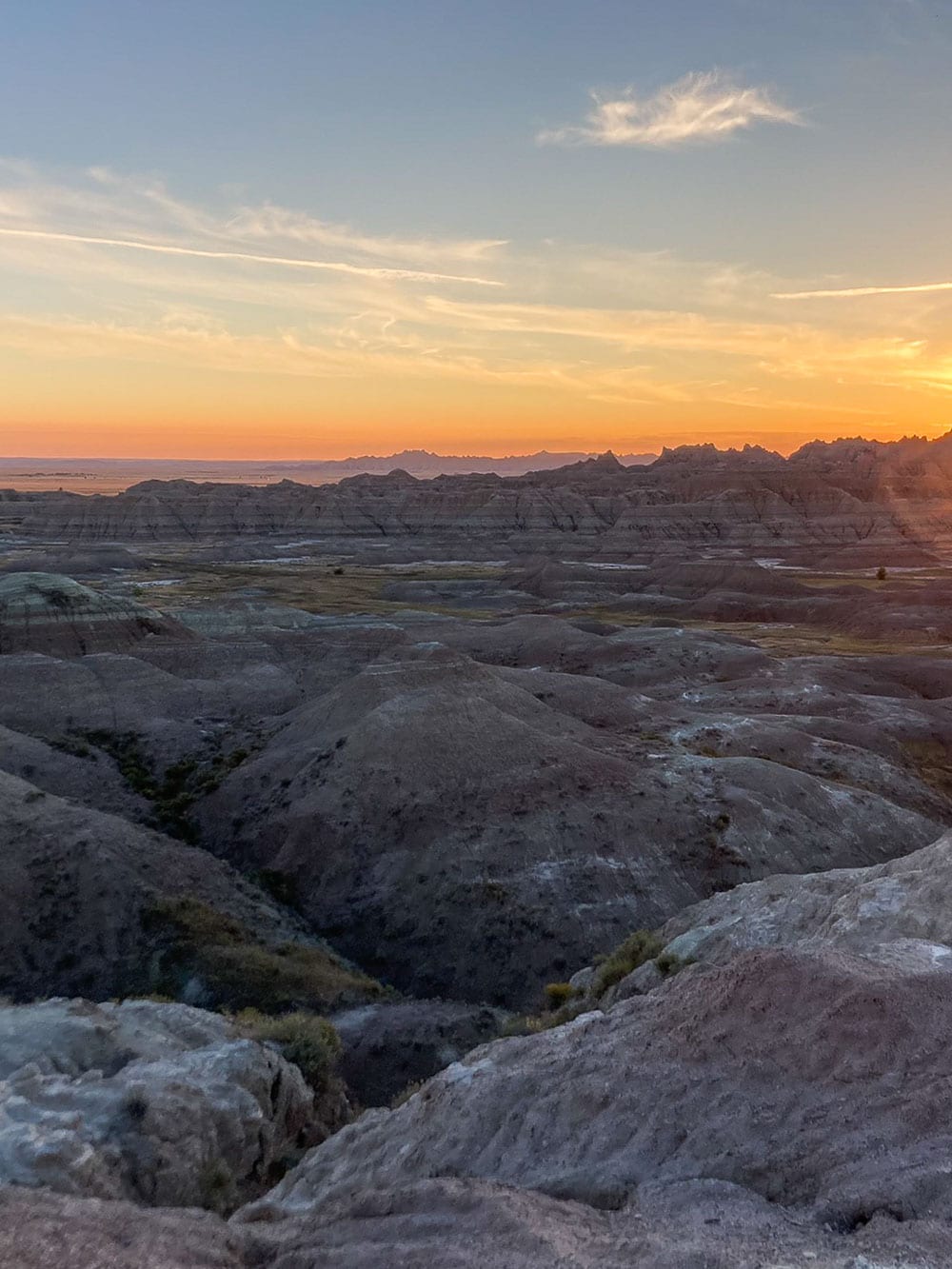
One of only a few west-facing viewpoints in the park, the Conata Basin Overlook is a great place to catch a Badlands sunset.
At the end of a very short boardwalk, you can take in a wide view of the “paleosols” of Badlands National Park. Those paleosols are one of the most remarkable features of the park, ancient rock layers that display a vibrant color.
From the overlook, you can clearly see the Yellow Mounds and the Interior Paleosol.
In addition to the noteworthy paleosols, the Conata Basin Overlook is also extraordinary because it provides a full geologic cross-section of Badlands National Park. Literally every geological layer is visible here.
Yellow Mounds Overlook
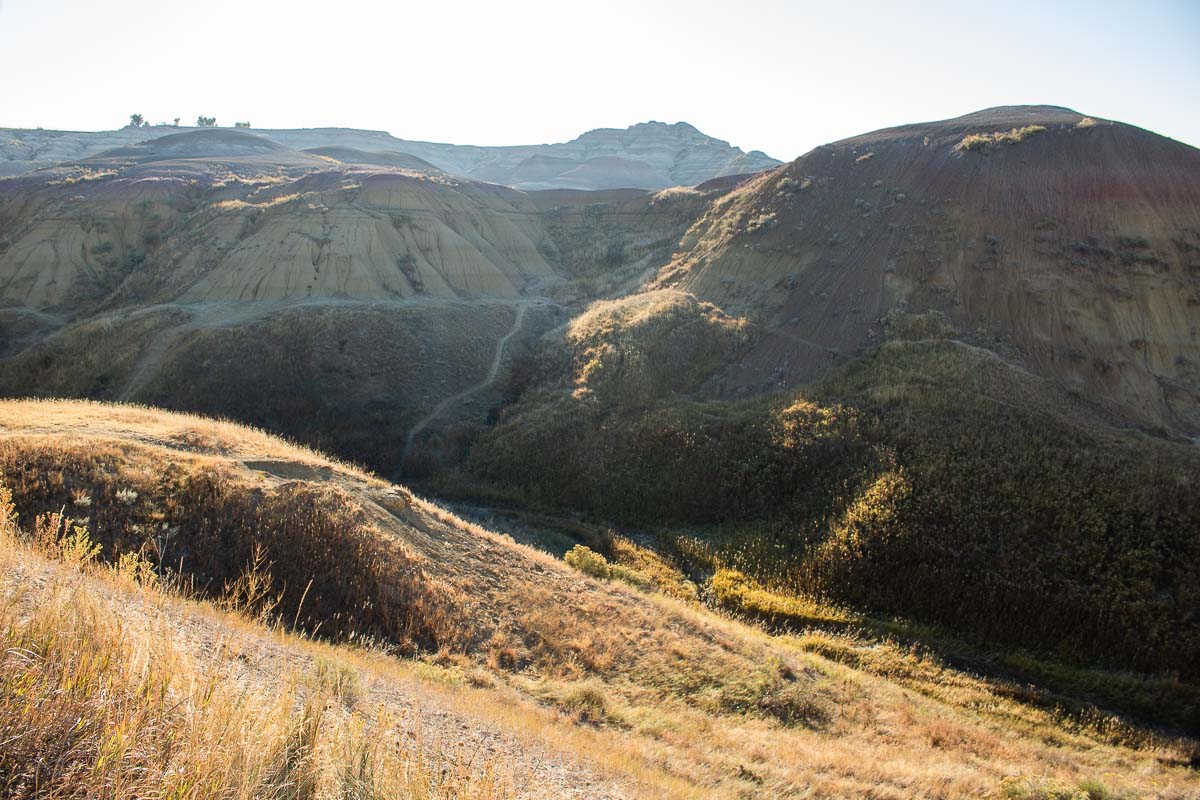
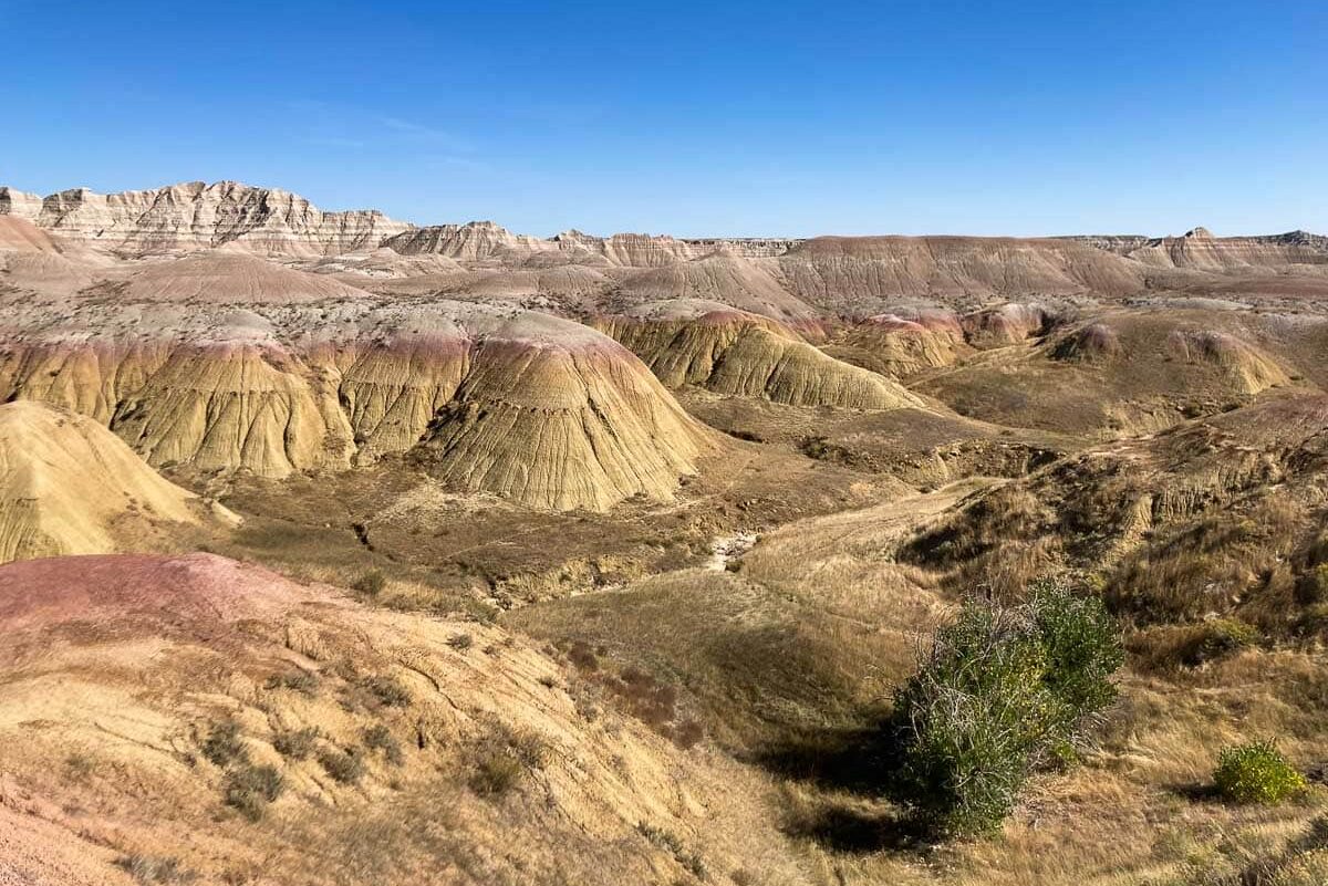
On the map of Badlands National Park they’re just another overlook, but in real life the Yellow Mounds are an extraordinary sight.
The Yellow Mounds Overlook is near the intersection of the Badlands Loop Road and Conata Road, within one of the park’s most colorful geological areas.
Park at the overlook and walk along the road for different vantage points. You can also wander into this remarkable landscape on social trails. Even climbing the mounds is allowed thanks to the park’s “open hike policy.”
The Yellow Mounds are so special because they offer an insight into some of the older rock formations of Badlands National Park.
From bottom to top, layers of yellow, gray and red each represent a distinct geological formation, respectively the Interior Paleosol, Chadron and Brule formations.
Ancient Hunters Overlook
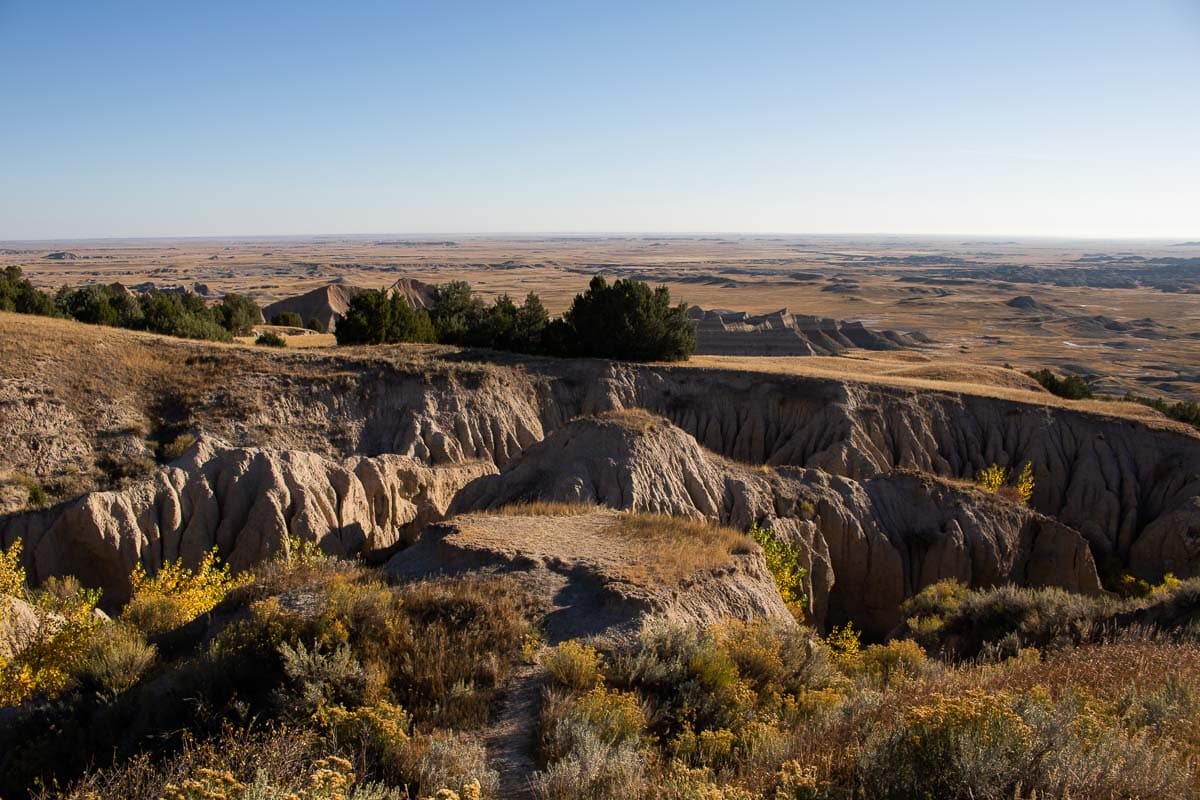
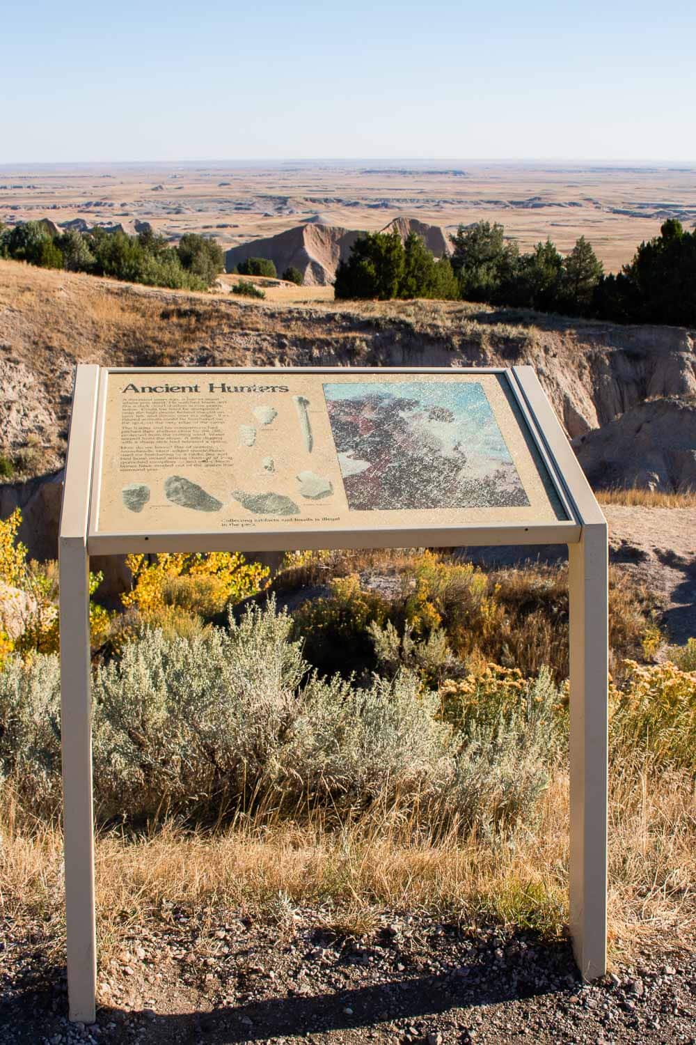
The Ancient Hunters Overlook is extraordinary not so much for its panoramic views (which are still pretty awesome, actually), but for its archaeological significance.
For thousands of years, people have traveled through and lived in the South Dakota Badlands. Evidence of ancient human activity is found in a number of locations in the region, including at this overlook.
Located at a geological slump, this particular spot provides a bit more shade and traps moisture better than most other places in the Badlands. As such, this allows trees to grow, while people found shelter here, too.
Several different prehistoric artifacts have been found at the Ancient Hunters Overlook. This includes everything from arrowheads, pottery, worked quartz flakes, and charcoal from campfires to bird bones, a rabbit jaw, and bison bones.
Pinnacles Overlook
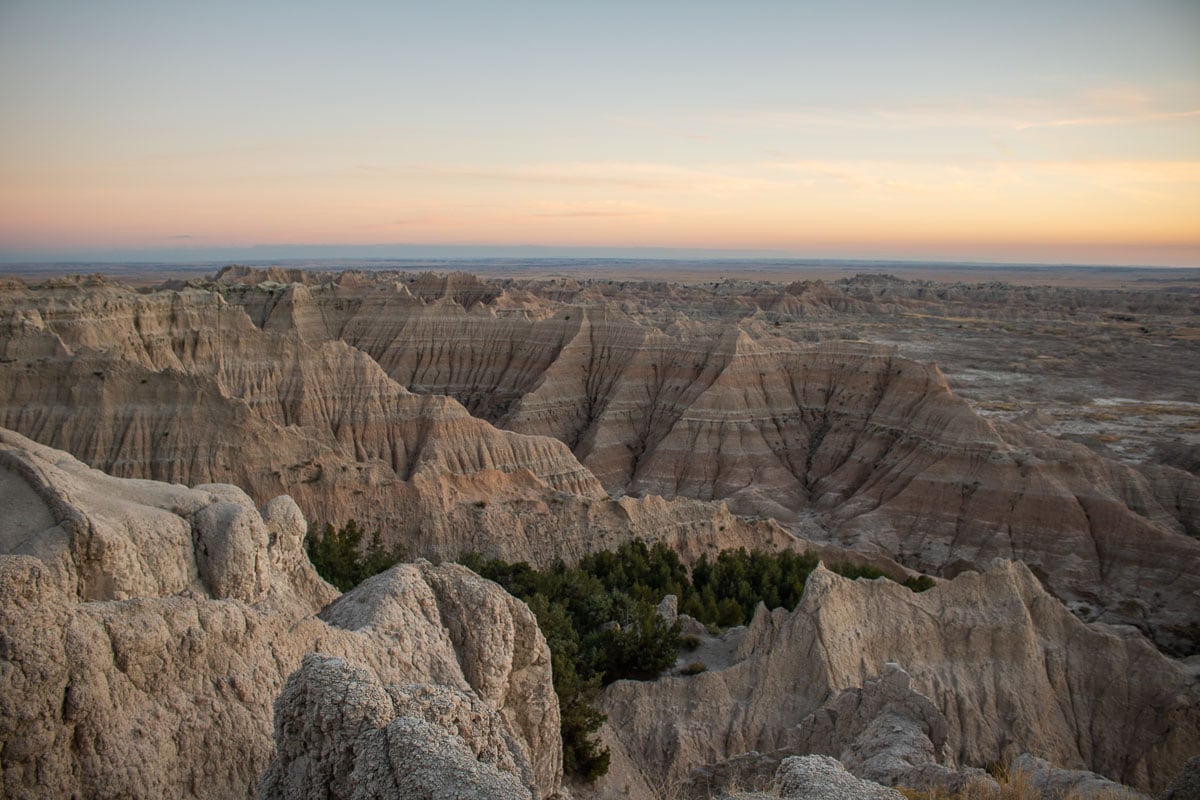
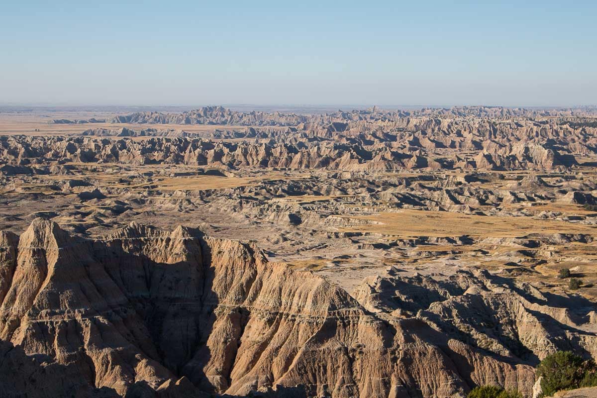
The National Park Service says that the “Pinnacles Overlook has sweeping views and faces south, making it a great sunset destination.”
And indeed, this is arguably the most popular of all overlooks in Badlands National Park, partially thanks to its expansive parking lot, which can accommodate lots of visitors. Additionally, this is the highest point in the park’s North Unit, providing spectacular panoramic views.
Located near the western end of the Badlands Loop Road, the panorama—it truly is a 180-degree vista—takes in the western Badlands, but also the Sage Creek Wilderness Area and, on clear days, even the Black Hills.
If that’s not enough to make this one of the best views in Badlands National Park, it’s also a great place to see some of the Badlands wildlife in late afternoon.
“Bison might be visible in the distance, in the valley below or in the upper prairie to the northwest,” the Park Service says. The animals you’re most likely to see here, however, are bighorn sheep, which tend to gather (and even lamb) here.
Scenic Overlooks on the Sage Creek Rim Drive, Badlands National Park
Sage Creek Rim Road is a gravel road that runs through the northwest portion of Badlands National Park’s North Unit. It starts off of the Badlands Loop Road just south of the Pinnacles Entrance.
While many visitors skip this scenic drive due to a lack of time, this is definitely a part of Badlands National Park that deserves to be explored.
The dirt road offers great views of the vast Sage Creek Wilderness Area, a landscape of rolling grass-covered hills dotted with small badlands and wooded areas.
There are three official overlooks on the Sage Creek Rim Road, all offering sensational views of the Badlands landscape. They’re especially great because they allow visitors to see the transition between Badlands and prairie—each overlook is slightly different.
Hay Butte Overlook
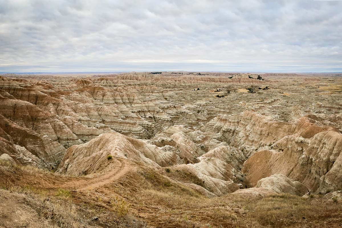
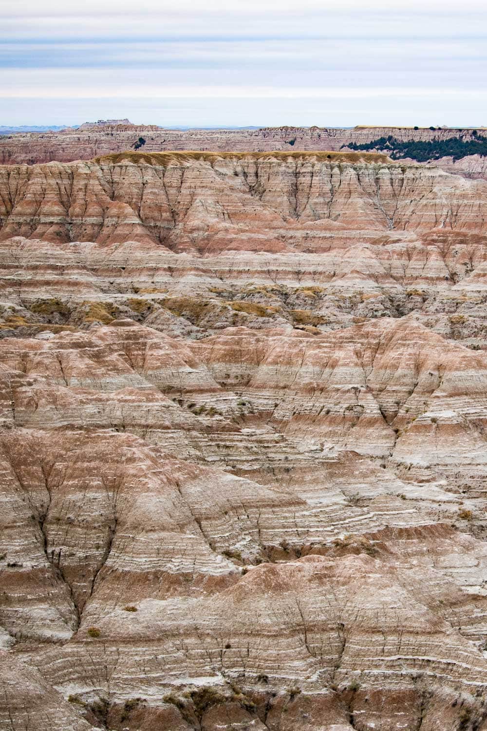
The spectacular Hay Butte Overlook provides views of several buttes in the Sage Creek Wilderness Badlands.
These striking Badlands tables include Hay Butte itself, a major landmark in this vast wilderness area. Although they’re covered with grass, the slopes of these “islands” in the Badlands are so steep that cattle weren’t able to get up there.
So instead, homesteaders used to wait until the grass was ready for cutting. They quite literally took apart a mower, carried the pieces to the top, and reassembled it. Once cut and baled, the grass was then lowered by cable from the rim to the lower prairie. This gave this particularly large butte its name—Hay Butte.
“Today,” the National Park Service says, “the high grassy tables are harvested only by bighorns and deer. The bison which roam the Sage Creek Wilderness are excluded as effectively as were the stock of the homesteaders.”
Badlands Wilderness Overlook
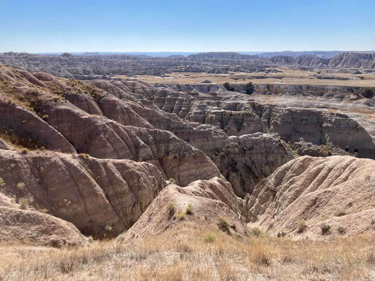
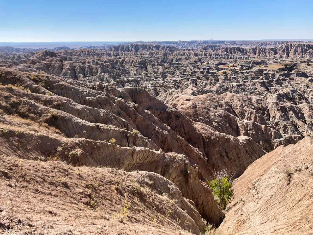
Located just west of the Hay Butte Overlook, the Badlands Wilderness Overlook offers yet another amazing view of the park’s vast wilderness.
Although you can drive, I actually recommend walking the 0.6 miles between both of these Badlands overlooks, a fairly easy 1.2-mile roundtrip walk.
From the Badlands Wilderness Overlook, you can clearly see the transition from the eroded Badlands in the east to the rolling prairie in the west. It’s a wonderful visual of how the Badlands are created and disappear through erosion.
Note that bison frequent this area, so pay attention and stay at least 100 feet from bison and all other park wildlife. You can learn more about bison safety here.
Sage Creek Basin Overlook
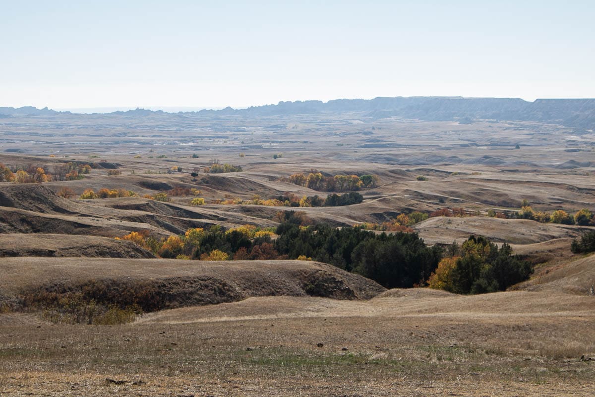
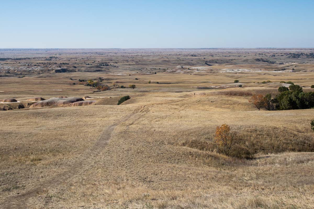
Situated a bit further to the west still, the Sage Creek Basin Overlook looks out over a pristine mixed-grass prairie landscape.
Here, the “Badlands formations have eroded away almost entirely, revealing an underlying terrain more suitable for grasslands soil development.”
Many trails can be seen crisscrossing the prairie, but these are game trails and not maintained by park management. However, you are, in fact, allowed to freely use these trails to explore this sprawling prairie wilderness.
You can literally walk down from the overlook and head into the wilderness. Just make sure to bring a map and compass, plenty of water, and keep an eye out for wildlife like bison and rattlesnakes.
More Overlooks in Badlands National Park (South Unit)
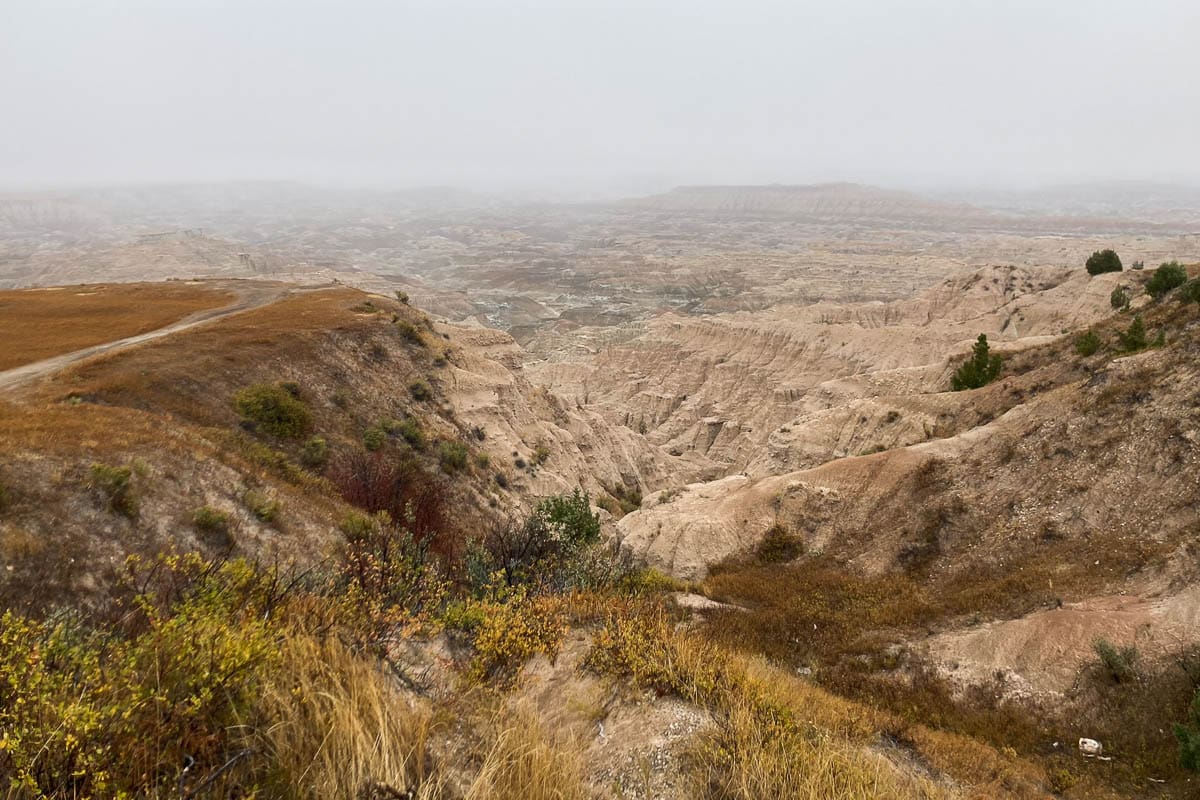
Besides the fourteen overlooks in the North Unit of Badlands National Park, there are a couple of additional overlooks in the South Unit, too.
Also known as the Stronghold Unit, this park unit sits within the Pine Ridge Reservation owned by the Oglala Sioux Tribe. The National Park Service and the Tribe co-manage the unit.
Except for the rugged Sheep Mountain Table Road, which ends at the Sheep Mountain Table Overlook, there are no roads through this unit, but you can drive around it.
There’s another spectacular overlook on the west side of the South Unit, known as the Red Shirt Table Overlook.
If you have sufficient time, driving around the South Unit is absolutely worth it.
The drive starts in Scenic, just west of the southern end of the Sage Creek Road. It runs around the eastern, southern and western boundary of the South Unit in a clockwise direction, ending in the small community of Red Shirt. It’s a one-hour drive one-way.
The Stronghold Unit Is a Sacred Place, Be Respectful
The National Park Service reminds visitors that “as you travel on Pine Ridge Reservation, particularly on the South Unit of Badlands National Park, you may find signs of religious worship.”
“These could take the shape of prayer sticks or small bundles tied to branches. It could be simply a piece of brightly colored fabric tied to a shrub. These are signs of traditional worship by Tribal members. Please respect their beliefs and practices and leave these objects.”
Have You Visited the Badlands? Which Were Your Favorite Overlooks in Badlands National Park? Share Your National Parks Experience Below!
More Scenic Views in the National Parks
- Best Views of the Teton Range (in Grand Teton National Park)
- Best Views of Crater Lake (in Crater Lake National Park)
- Best Views of Mount Rainier (in Mount Rainier National Park)
- Best Views of Death Valley (in Death Valley National Park)
- Best Views of the Blue Ridge Mountains (in Shenandoah National Park)
- Best Views in Zion Canyon (in Zion National Park)
- Best Views on the Arches Scenic Drive (in Arches National Park)

Patrick Ireland
Sunday 5th of March 2023
These pictures are amazing! Almost as good as being there! Thanks so much for sharing your research and your adventures. Much appreciated!
Bram
Monday 6th of March 2023
Thank you so much, Patrick! I was on a mission to visit and photograph every overlook in Badlands National Park during my visit (along with as much as the park's wildlife as I could). I'm glad you enjoyed these photos!
Lonny Mittag
Thursday 2nd of March 2023
Enjoyed the article & photos!
Bram
Friday 3rd of March 2023
Glad you liked the photos and information, Lonny! Thanks for commenting.