In late-September, when nights slowly get chillier and mornings crisper, when apples and pumpkins fill roadside farm stands, and when the leaves of deciduous trees start turning yellow, orange and red, people all across the United States get ready for leaf-peeping road trips.
Here at The National Parks Experience, fall is by far our favorite time of year. It’s the season of the five senses.
We absolutely love seeing all those amazing fall colors, but equally enjoy the scents and smells of a forest in fall. The sound of boots stepping on fallen leaves is music to our ears, while the crispness of the autumn air is a welcome relief after a long and hot summer.
And of course, fall wouldn’t be complete without a generous slice of pumpkin pie or apple crumble after a long day’s hike.
This is all to say that we’re HUGE fans of fall road trips.
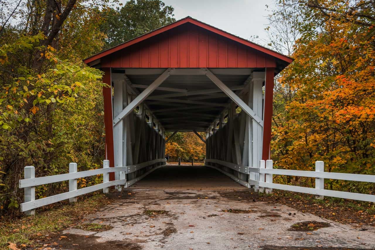
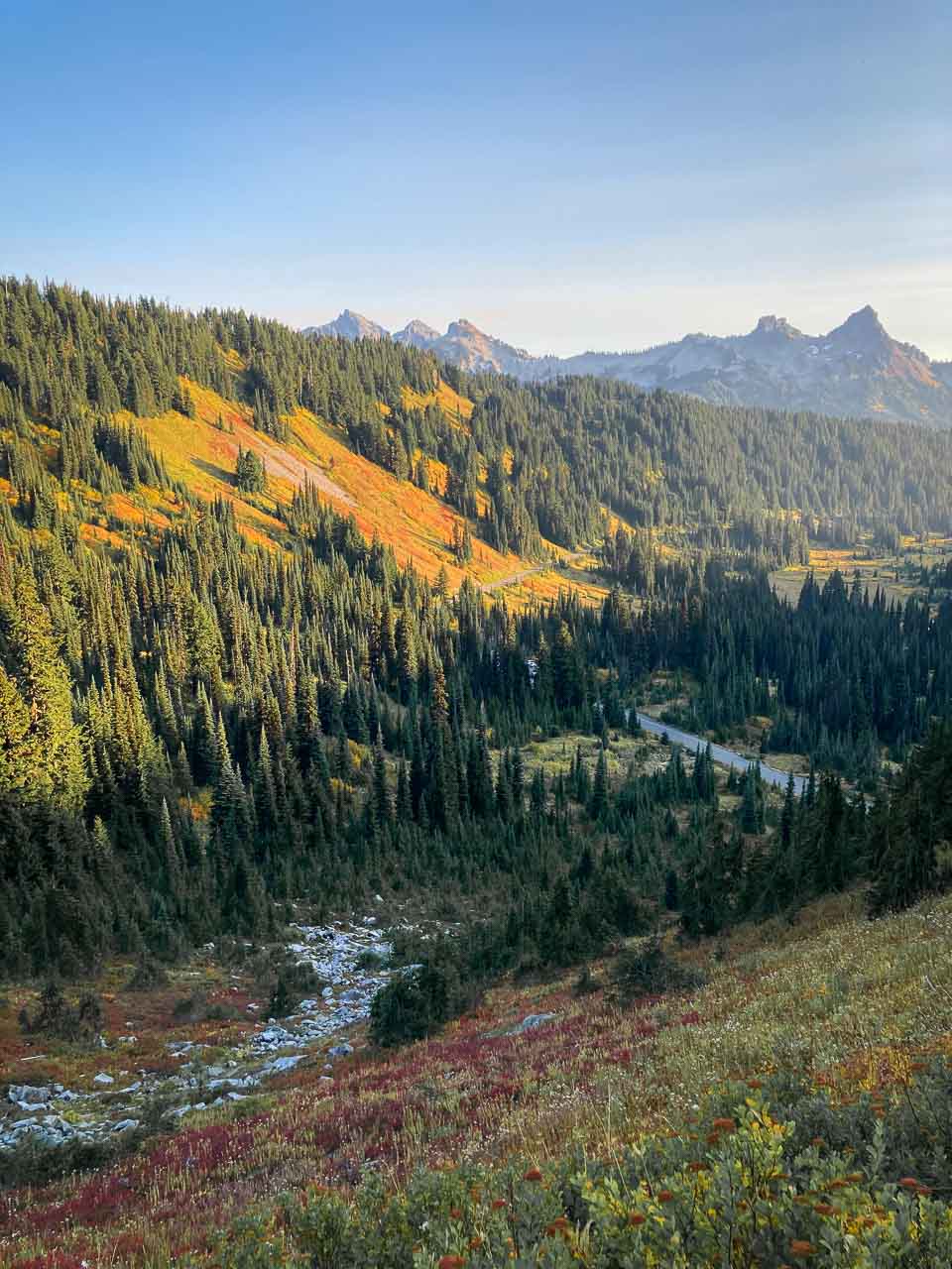
Whether it’s the glorious fall views in Shenandoah National Park, the intimate autumn scenery of Cuyahoga Valley, the vibrant fall foliage in Acadia National Park, or the spectacular fall hiking opportunities at Mount Rainier, this is, in our opinion, the best season to explore many of America’s national parks.
To help us plan our fall trips, we use an incredible fall foliage prediction map created by SmokyMountains.com. Scroll down to the end of this post to see the map in action.
“Autumn is a second spring when every leaf is a flower.”
– Albert Camus
2023 Fall Foliage Prediction Map: America’s Best Leaf-Peeping Planning Resource
SmokyMountains.com is the leading website for information about all things Great Smoky Mountains. This includes, of course, the best times to see fall colors in the region.
“In 2013, potential visitors to the Smoky Mountain region began asking us questions about when the leaves would be most brilliant. From these questions, we built the first version of the fall leaf map and have consistently improved it each year,” map creator and brand founder David Angotti says.
He adds that “what started as a fun side-project quickly became the most respected nationwide fall leaf map and one of the best fall resources in the country.”
“Now, tens of millions of people use our map each year to plan vacations, weddings, and photography trips. However, the most common use is individuals using the leaf map to check when leaves will peak near their home,” according to Angotti.
Which Data Is Used to Create the Map?
Angotti explains that “SmokyMountains.com utilizes a refined data model that depends on a combination of factors, including historical temperature and precipitation, forecast temperature and precipitation, the type of tree known to be prominent in that geographic region, the historical trends in that area, and user data.”
The end result is an output of 50,000 predictive data pieces.
Here are some of the data points analyzed by the fall foliage map algorithm:
- NOAA historical temperatures
- NOAA historical precipitation
- NOAA forecast temperatures
- NOAA forecast precipitation
- Historical leaf peak trends
- Peak observation trends
- User Reports
How Accurate Is This Fall Foliage Map?
“Similar to a weekend weather forecast, the timing of our map update is important. The backbone of the map is meteorology – temperature, moisture, sunlight and precipitation. While meteorology is most accurate immediately before an event, a forecast is more useful to travelers and end-users when made in advance,” Angotti says.
“With our unique blend of historical and forecast data, we are able to make a highly accurate prediction by the end of August. The drastic year-to-year changes dictate that we create a new map from scratch with new data each year. Our end goal is to produce a map that’s useful and fun.”
On top of these past factors, they also introduced the possibility for end-users to enter real-time fall color reports. This new feature improves both the fall foliage updates and future fall color prediction models.
It must be said, though, that because these fall foliage predictions depend on weather-related variables, much like all meteorological forecasts, they are not 100% accurate.
However, Angotti says that “after publishing our predictive fall foliage map for nearly a decade, we are confident in our data sources, process, and algorithm.”
Although the proprietary predictive algorithm is refined every year, the data sources behind the fall foliage map don’t change.
The model processes innumerable data points, which, as we outlined above, include things like historical precipitation, NOAA precipitation forecasts, temperature forecasts and average daylight exposure.
This results in an exceptionally accurate prediction of “the precise moment fall will occur for the entire United States.”
It is arguably the most comprehensive and thoroughly researched fall foliage map available in America today.
How Do You Use This Amazing 2023 Fall Foliage Map?
Although based on an incredible amount of data, numbers and statistics, the map itself is super-easy to use.
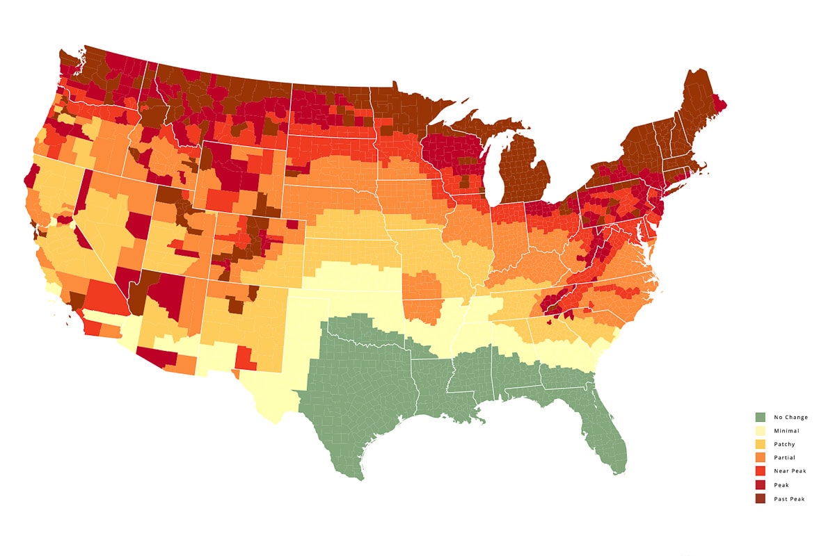
The intuitive map shows the contiguous United States, divided into states, which are subdivided into counties.
You can see the fall foliage prediction for each individual county, for all weeks between early-September and late-November.
Below the map, you’ll see a slider. To view the fall color prediction for the entire contiguous United States, simply slide the slider to the right. (When viewing the fall colors map on a computer, you can also use the arrow keys to move the slider.)
You’ll clearly see the predicted progression of fall colors across the country, an invaluable resource to plan your next road trip to national parks in the fall.
The map is color-coded based on—what else?—the colors of the leaves.
Green means that the leaves in that area aren’t changing colors quite yet. Brown, on the other hand, indicates that the fall foliage is past its peak.
The Ultimate 2023 Fall Foliage Map
Use the slider below the map to see the progression of fall colors across the United States.
Can’t see the map? Here is the link to the SmokyMountains.com autumn colors map
I highly recommend visiting the SmokyMountains.com webpage above for lots more information about fall in the United States.
You’ll find the link to report fall colors in your area, the science behind why leaves change their colors in autumn, and much more.
